
10 Sentiero 10Trail 10Wanderweg 10
Ala Materna – Sass GrossAla Materna – Sass GrossAla Materna – Sass Gross
LunghezzaLengthLänge 3,4 km3.4 km3,4 km DislivelloElevation gain / lossHöhenmeter +106 m / −12 m QuotaAltitudeHöhe 515 m → 601 m TempoTimeZeit 1 h 00 DifficoltàDifficultySchwierigkeit T Per tuttiFor everyoneFür alle
Il sentiero è evidenziato nel suo colore; gli altri sentieri restano in trasparenza. Pulsante 3D per inclinare la vista; due dita sul telefono per muovere, zoomare e ruotare; su PC Ctrl+rotella per lo zoom e tasto destro del mouse per inclinare e ruotare.This trail is highlighted in its colour; the other trails are faded. 3D button to tilt the view; two fingers on phone to move, zoom and rotate; on PC Ctrl+wheel to zoom and right mouse button to tilt and rotate.Dieser Wanderweg ist in seiner Farbe hervorgehoben, die anderen bleiben blass. 3D-Taste zum Neigen der Ansicht; zwei Finger am Handy zum Verschieben, Zoomen und Drehen; am PC Strg+Mausrad zum Zoomen und rechte Maustaste zum Neigen und Drehen.
Ala Materna – Sass Gross
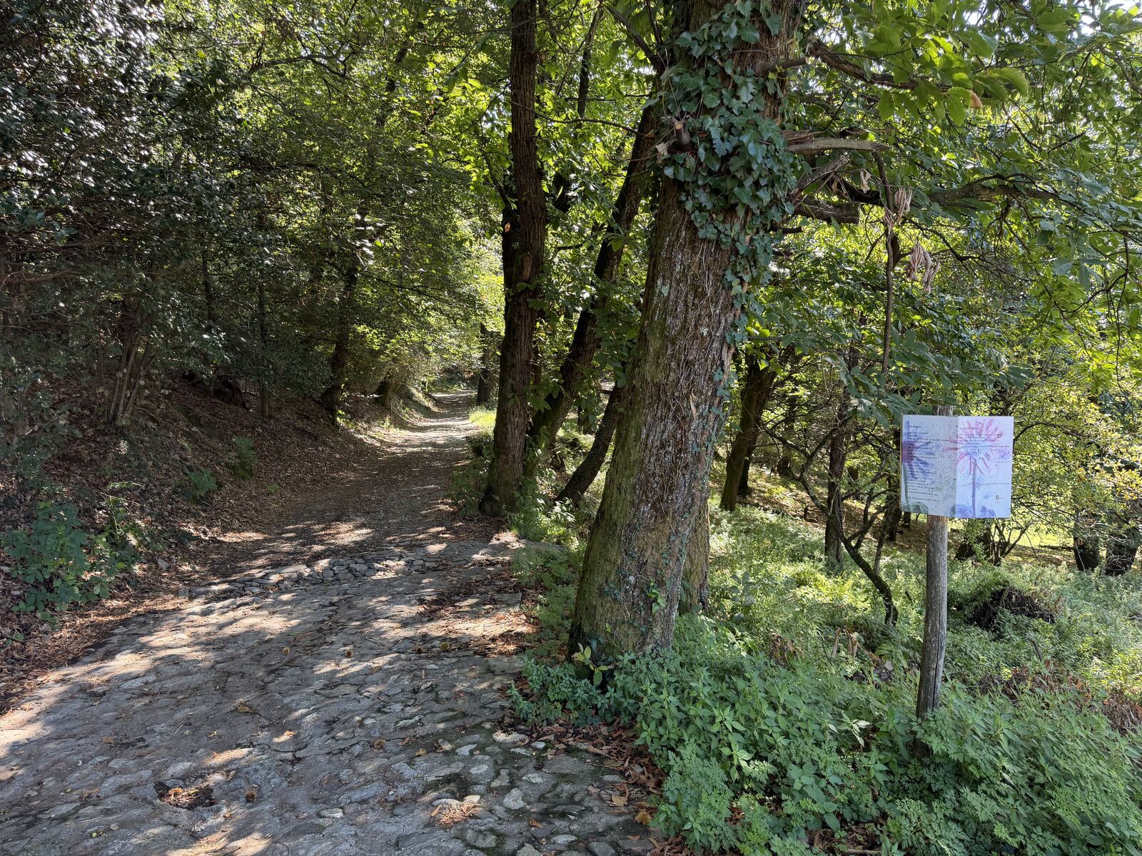
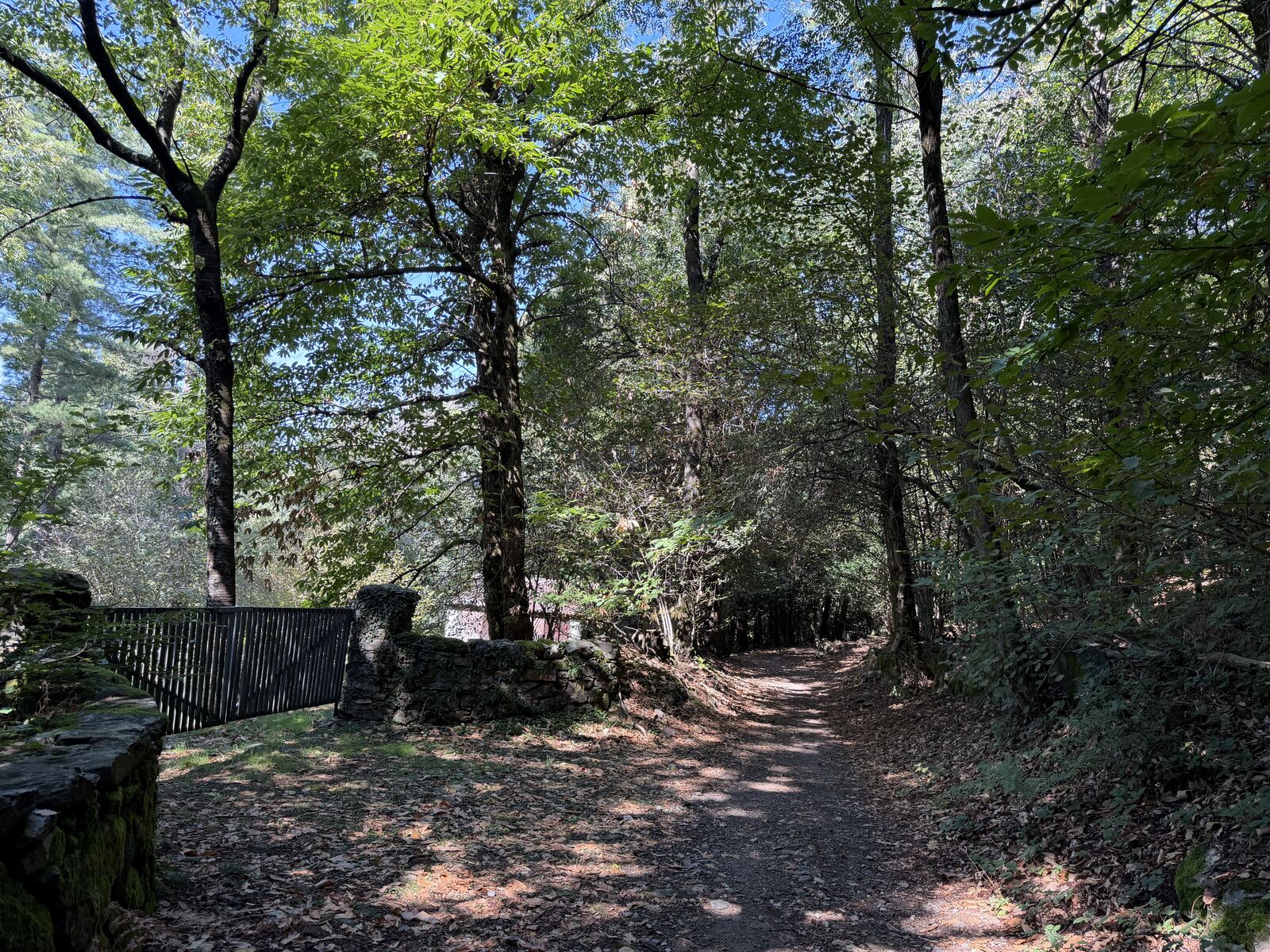
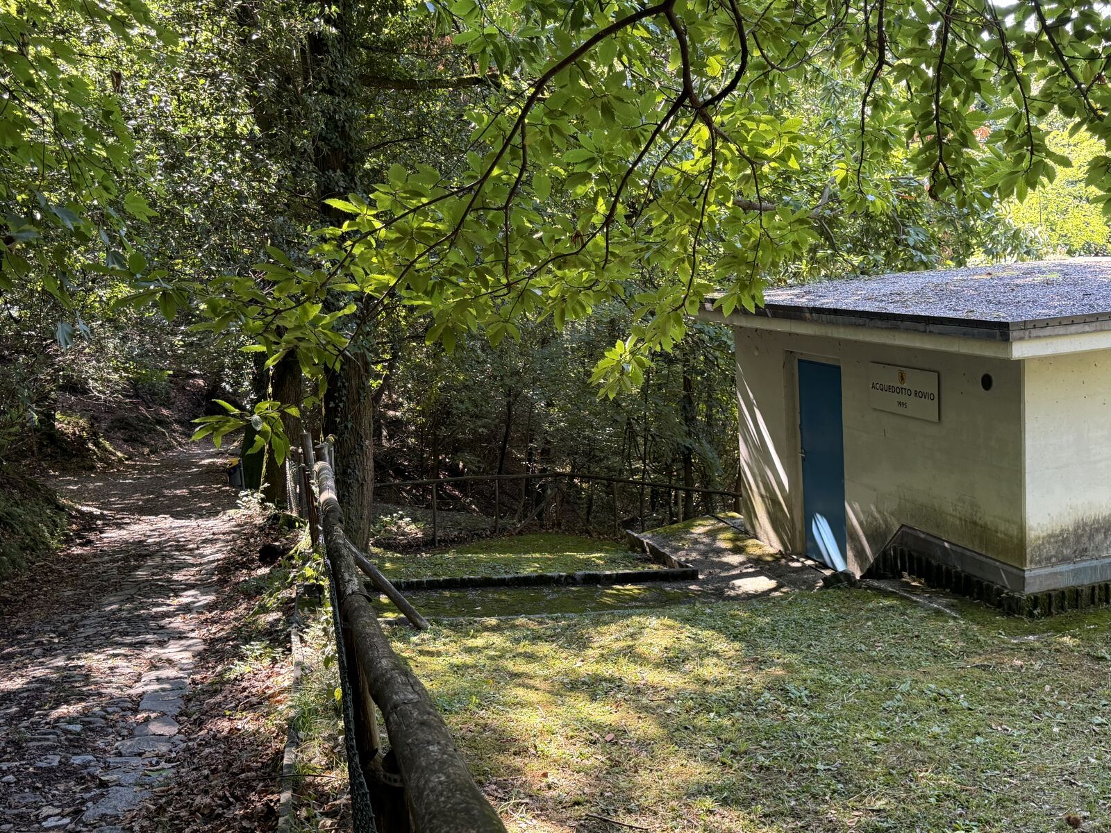
Partendo dall'Ala Materna di Rovio una splendida strada sterrata prima e asfaltata poi, porta fino al Sass Gross, ad Arogno, da cui parte il sentiero per raggiungere la vetta del monte Generoso. Il percorso è adatto a tutti, senza alcuna difficoltà, lungo il bosco di Castagni, incrociando il torrente Lembro.
Ala Materna – Sass Gross
From Ala Materna in Rovio, a splendid road, first gravel and then paved, leads to Sass Gross in Arogno, where the path to the summit of Monte Generoso begins. The route is suitable for everyone, with no difficulty at all, through the chestnut wood and across the Lembro stream.
Ala Materna – Sass Gross
Von der Ala Materna in Rovio führt eine prächtige, zuerst geschotterte und dann asphaltierte Strasse bis zum Sass Gross bei Arogno, wo der Weg zum Gipfel des Monte Generoso beginnt. Die Route ist ohne jede Schwierigkeit für alle geeignet, durch den Kastanienwald und über den Bach Lembro.
Apri la mappa generale dei sentieriOpen the general trail mapGesamte Wanderkarte öffnen