12 Sentiero 12Trail 12Wanderweg 12
Ruvers – Alpe BogoRuvers – Alpe BogoRuvers – Alpe Bogo
LunghezzaLengthLänge 1,4 km1.4 km1,4 km DislivelloElevation gain / lossHöhenmeter +132 m / −0 m QuotaAltitudeHöhe 614 m → 753 m TempoTimeZeit 35 min DifficoltàDifficultySchwierigkeit E Escursionisti – facileHikers – easyWanderer – leicht
Il sentiero è evidenziato nel suo colore; gli altri sentieri restano in trasparenza. Pulsante 3D per inclinare la vista; due dita sul telefono per muovere, zoomare e ruotare; su PC Ctrl+rotella per lo zoom e tasto destro del mouse per inclinare e ruotare.This trail is highlighted in its colour; the other trails are faded. 3D button to tilt the view; two fingers on phone to move, zoom and rotate; on PC Ctrl+wheel to zoom and right mouse button to tilt and rotate.Dieser Wanderweg ist in seiner Farbe hervorgehoben, die anderen bleiben blass. 3D-Taste zum Neigen der Ansicht; zwei Finger am Handy zum Verschieben, Zoomen und Drehen; am PC Strg+Mausrad zum Zoomen und rechte Maustaste zum Neigen und Drehen.
Ruvers – Alpe Bogo
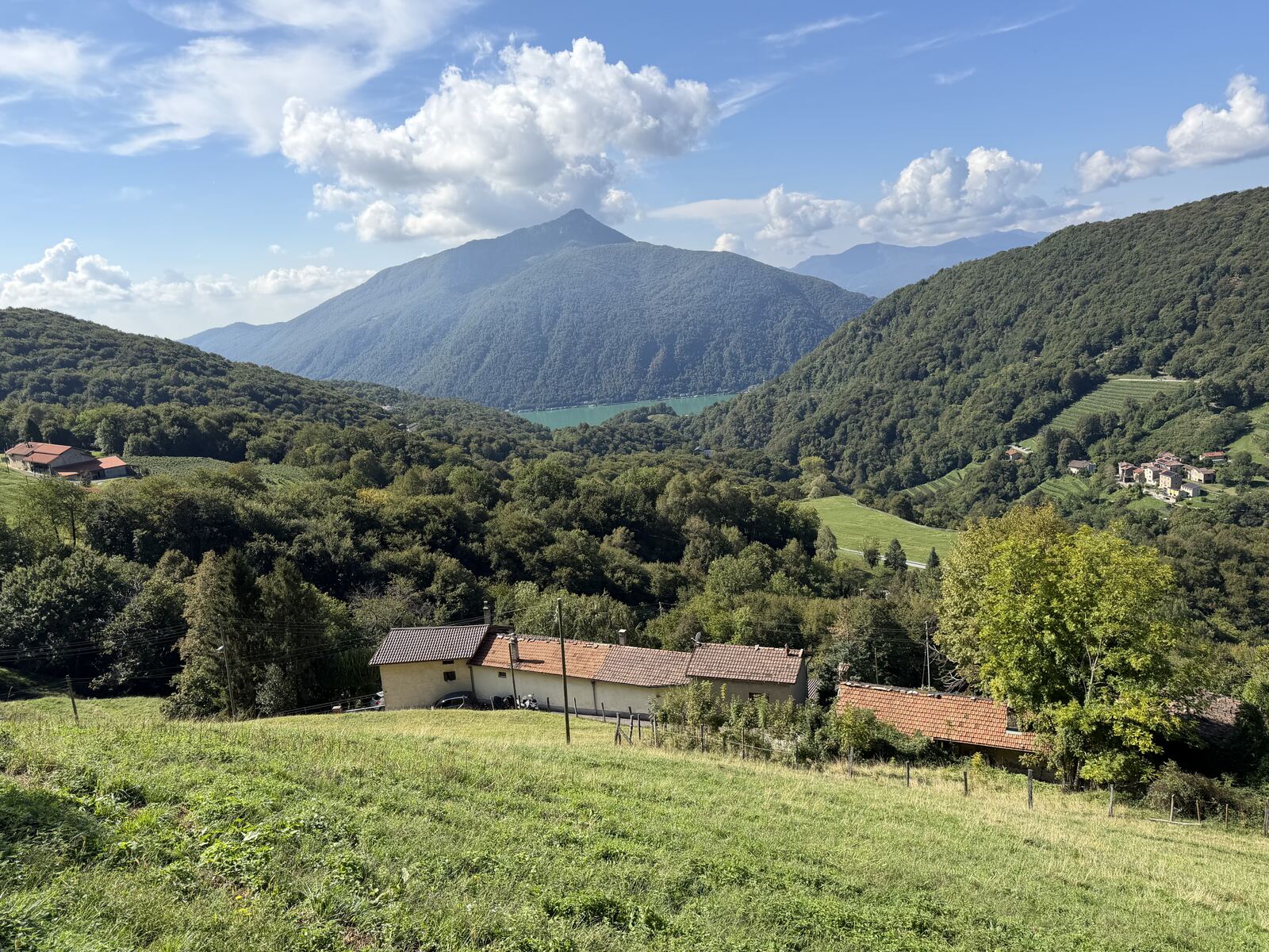
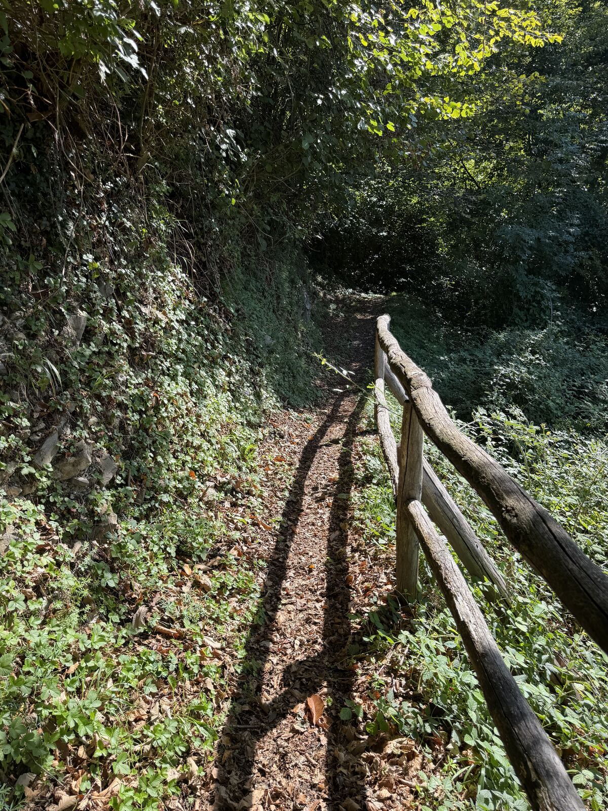
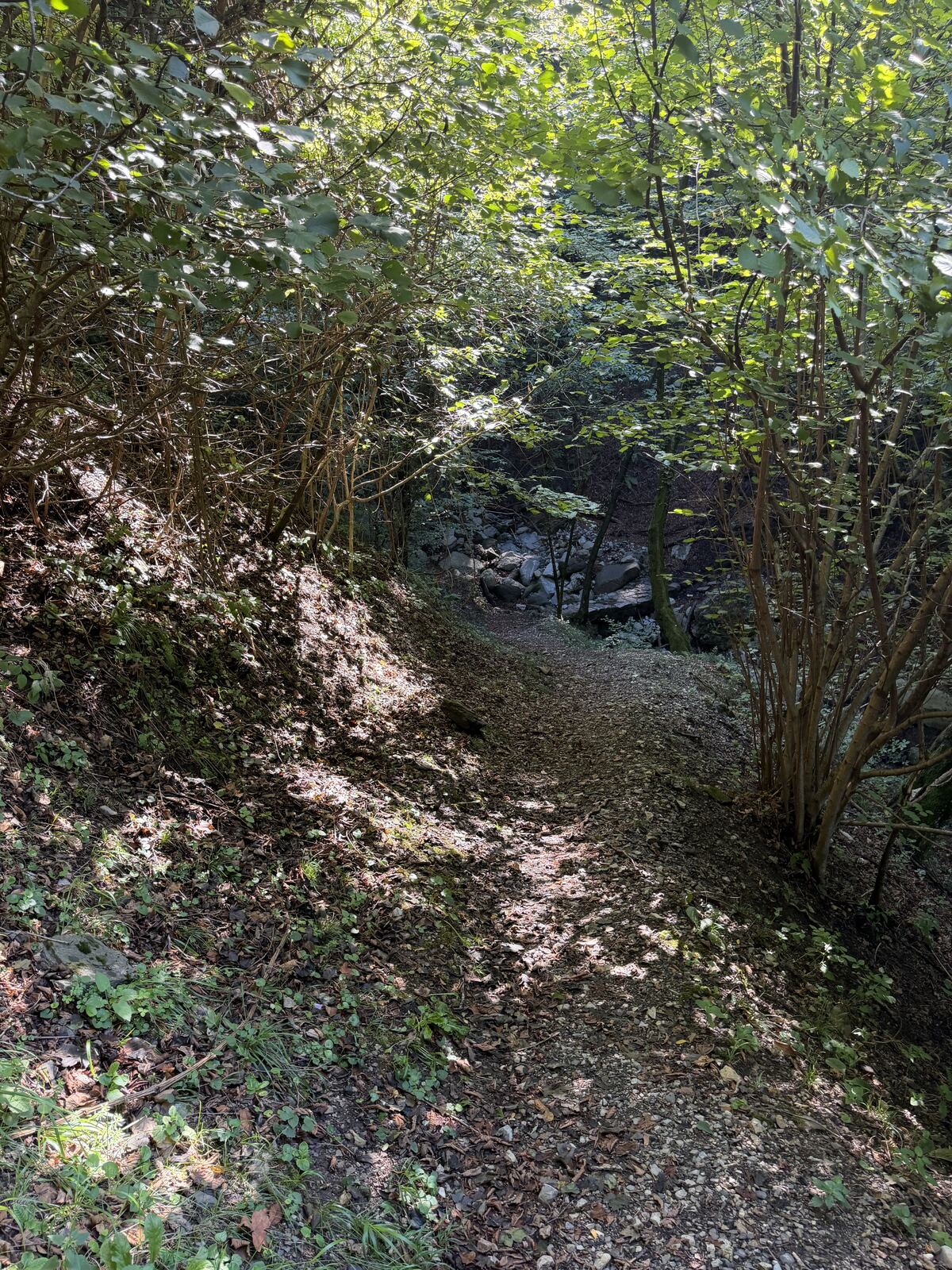
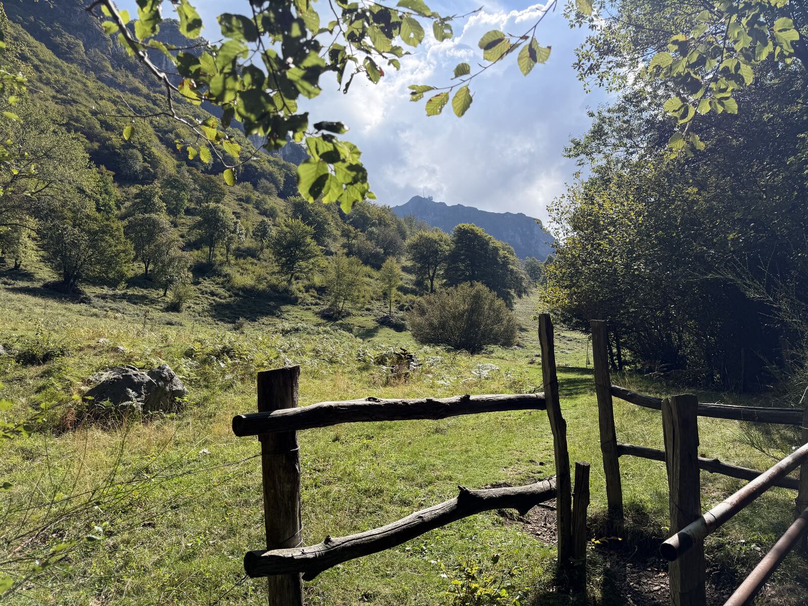
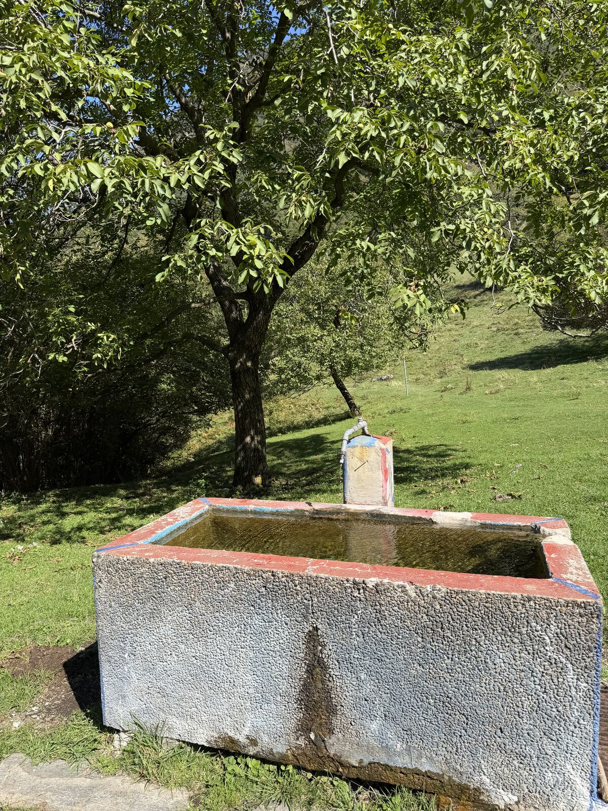
Dal sentiero 10 all'altezza di Ruvers, si segue la strada asfaltata fino alla frazione di Lembro e poi un piccolo e ripido sentiero di montagna fino all'alpeggio di Bogo, proprio sopra il quartiere di Rovio. Un po' più impegnativo il piccolo tratto da Lembro all'alpe di Bogo.
Ruvers – Alpe Bogo
From trail 10 at Ruvers, follow the paved road to the hamlet of Lembro, then a small, steep mountain path up to the Bogo pasture, right above the Rovio district. The short stretch from Lembro to Alpe di Bogo is a little more demanding.
Ruvers – Alpe Bogo
Vom Weg 10 folgt man auf der Höhe von Ruvers der asphaltierten Strasse bis zum Weiler Lembro und dann einem kleinen, steilen Bergweg hinauf zur Alp Bogo, direkt oberhalb des Quartiers Rovio. Das kurze Stück von Lembro zur Alpe di Bogo ist etwas anspruchsvoller.
Apri la mappa generale dei sentieriOpen the general trail mapGesamte Wanderkarte öffnen